Leveraging Drone Imagery for Surveying and Environmental Monitoring in British Columbia
- Course Dates: [Customized for groups - contact to book]
- Location: [Vancouver/Lower Mainland BC, - contact to book]
- Course Fees: Cost per person: $150 (for a group of 8), $200 (for a group of 6), $300 (for a group of 4) and $450 (for a group of 2). Organizations are also required to purchase one lifetime WebODM license @ $57 USD.
- Computer Hardware Requirements: Modern laptop with at least 8GB of RAM. Microsoft Surface computers, tablets and iPads will lack sufficient processing power to follow along with group tutorials.
This workshop focuses on developing maps, digital elevation models and other drone imagery products for environmental monitoring. This course is structured as a 1-day workshop with tutorials, case studies and resources to support individuals (and teams) in developing workflows to integrate drone assets into their environmental monitoring and management programs. The workshop theme and case studies focus heavily on fisheries and aquatic science applications in British Columbia. This workshop is ideal for small organizations, individuals, GIS professionals and groups looking to develop their drone programs further. Participants should be familiar with basic GIS concepts but do not require any programming experience or ESRI licenses.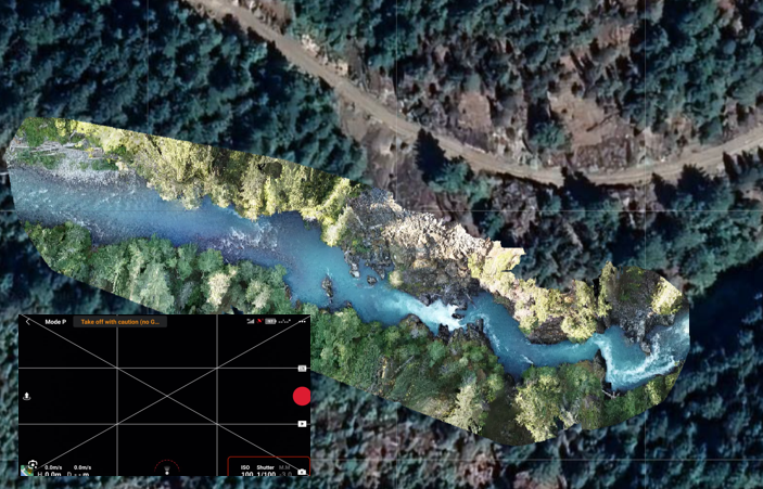
ABOUT THE INSTRUCTOR
This course is taught by Matthew Bayly at M.J. Bayly Analytics Ltd. Matthew has logged over 200 hours of flight time on various Remotely Piloted Aircraft Systems (RPAS/drones) for environmental monitoring programs. Matthew works jointly as a spatial analyst, computer programmer, and GIS professional. His work involves developing customized solutions to leverage drone imagery and related assets to support fisheries and aquatic science programs in British Columbia. His work includes large-scale orthomosaic reconstructions, applications in hydrodynamic modelling, riparian habitat assessments, change detection and data integration with bathymetry, satellite imagery, LiDAR, and historic air photos. Matthew has devoted considerable time and effort to develop this course to help others with effective workflows and leverage creative solutions with drone imagery.
COURSE SYLLABUS
Data products, workflows and common applications in environmental monitoring and resource management
Most commercial drone applications focus on film and professional photography for real estate, weddings, sports etc. However, for environmental monitoring, we are often more interested in using drones for surveying, measurements, and monitoring. This means learning to leverage orthomosaics, digital surface models, georeferenced photos/videos and other creative applications. This module will discuss the strengths, limitations, and level of effort/cost to produce various drone assets. We will then review methods to efficiently integrate these data products into existing monitoring programs.
Project planning, time/cost estimates, and flight automation software
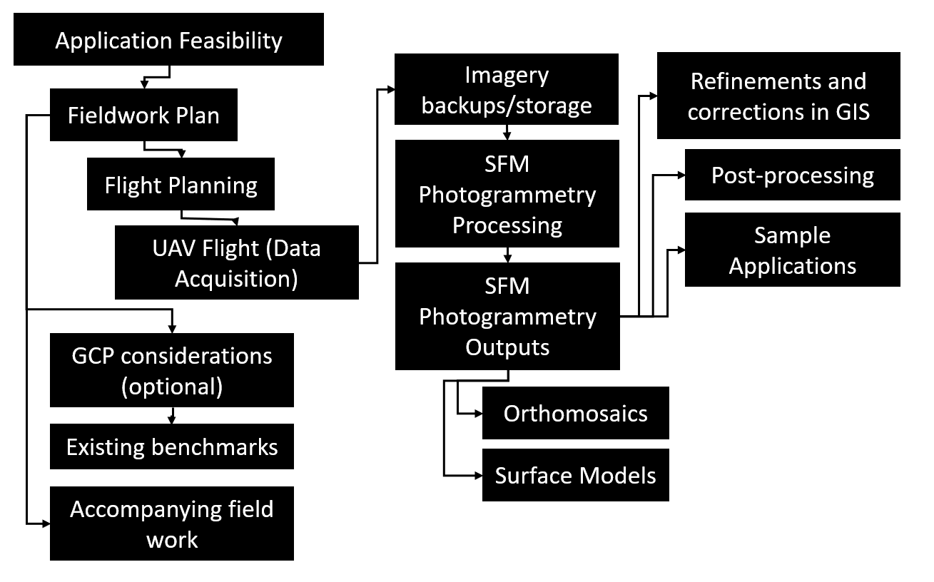
Effective project planning is critical to managing larger surveys.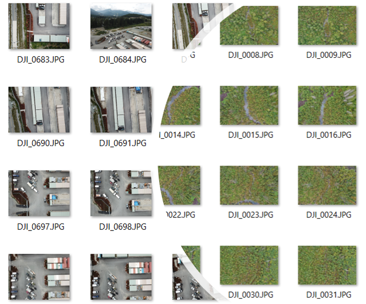 In this module, we will run through sample project scenarios and review various flight planning and flight automation software. We will use Excel templates to calculate a target Ground Sampling Distance (GSD) and corresponding survey time for a given platform. We will discuss critical image resolution and clarity issues (e.g., pixel binning/line skipping) in photogrammetry and then demonstrate how certain cameras can actually decrease survey time considerably and improve the quality and accuracy of mapping products. We will discuss necessary image overlap in different settings (e.g., rivers, wetlands, open areas) and decide when/where to use flight planning and when to fly missions manually. We will use this knowledge to work backwards from crucial project requirements and build a business case for alternative drone platforms.
Drone mapping software: photogrammetry software for orthomosaics, point clouds and 3D surface reconstruction
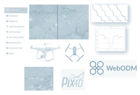
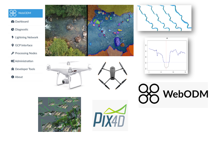
We will compare commonly used commercial software for drone mapping, open-source alternatives and various freeware. However, we will use WebODM from OpenDroneMap for this course for all tutorials. WebODM is an incredible collection of software that can be used to quickly illustrate processing frameworks for map making, generating/reviewing point clouds, DEM construction and building 3D surface models. WebODM is available for approximately $57 USD and works great for training purposes and (almost all) standard project applications. We will run through an example of creating orthorectified maps, digital surface models with Ground Control Points (GCPs) and walk through use cases for serval other intermediate data products.
This module will conclude by discussing the anticipated x,y,z accuracy (with and without GCPs) for different surveys, standard checks/measurements and basic reporting requirements.
Working with Drone Imagery in QGIS
Correcting and adjusting/fixing color balance; Aligning imagery for change detection and repeat photography; combining other data layers; cutting, cropping and transforming data; Exporting photo-points as KML files (in Google Earth); Exporting maps as georeferenced PDFs (to print or share). 
Other valuable drone assets, tips, and tricks
Although drone mapping assets from photogrammetry (e.g., orthomosaics) are helpful, they are not always required for every application. We can still gather critical quantitative information with georeferenced photos and videos by leveraging the photo EXIF data and georeferenced flight paths. This can be especially useful for photo-point reconstruction or mapping target features rapidly within a large geographic area.
We will review numerous creative (alternative) use cases and various tips and tricks to manage large photo and video collections.
Solutions for data management, long-term storage, sharing assets and reporting
This module will focus on data management, storage/sharing of drone assets and assembling project deliverables for reporting purposes. We will review a sample database design for organizing flight data, raw photos and imagery products. We will discuss the pros and cons of network storage for small to mid-sized organizations. We will then dive into QGIS (or ESRI products) to demonstrate common tips and tricks for image correction, alignment and resampling.
Sharing drone assets: Finally, we will discuss alternative methods to use and share imagery assets. These include considerations for printing maps in static reports (e.g., size, DPI and colour corrections for PDF files), using low-cost online services to host and share base map imagery and self-hosting interactive web maps.
Keywords:
drone; UAV; RPAS; photogrammetry; orthomosaic; digital terrain model; strcuture from motion
