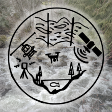
Services
The following sections outline core featured services. These categories are broad characterizations of past projects and are not mutually exclusive. Other sub-services, such as “data analysis” and “GIS” are also captured within these service areas.
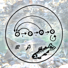
Life Cycle Modelling
Quantifying the complex interplay between limiting stressors and life stages to inform restoration actions
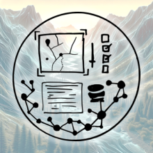
Custom Web Tools and Databases
Building perfectly customized modern tools and systems for science communication, data management and modelling
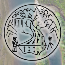
Watershed Assessments
Watershed characterization and the assessment of risks, status, and trends at different spatial scales
Hydrological Modelling
Projecting stream flows in ungauged basins under future scenarios and quantifying changes to instream habitat

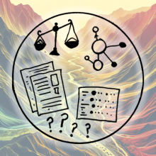
Restoration Planning and Prioritization
Prioritizing and staging actions, opportunities, and projects from the hill tops to valley bottoms
Aquatic Habitat Mapping
Combining field data with, GIS layers, predictive habitat models, drones/UAV products and satellite imagery
Fish Genomic Analyses
Supporting services with PCR-based methods to augment existing fish monitoring programs.